Multiple applications of Bike Path Planner for Den Bosch-Eindhoven express cycle route
The Province of North Brabant and the Den Bosch, Vught, Boxtel, Best and Eindhoven municipalities

Multiple applications of Bike Path Planner for Den Bosch-Eindhoven express cycle route
Between Den Bosch and Eindhoven lies the A2 motorway. Every day, many commuters get in their cars and make use of this road. Municipalities, together with the Province of North Brabant, are looking for an alternative to these commuters using their cars every day – namely, a sustainable and healthy cycle route. Since spring 2019, the Municipalities of Den Bosch, Vught, Boxtel, Best and Eindhoven have been working towards realising this ambition.
Collaborating on a cycle route
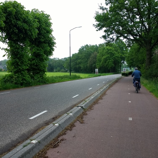
A new 30-kilometre cycle route is coming. It will connect the Den Bosch city centre with Eindhoven, via the village centres of Vught, Boxtel and Best. It represents a collaboration between five Municipalities, in accordance with the ambitions of the Province of North Brabant.
Application of the Bike Path Planner
The Bike Path Planner was used for various purposes. These included identifying points of attention for development of the preliminary design – for example, overlaps with new construction projects or large-scale maintenance in Vught and Best, or with green heritage structures in Boxtel.
The tool was also used to explore alternative routes, such as via Achtse Barrier in Eindhoven, and for the route through Vught.
The Bike Path Planner was also used internally by the various Municipalities to test plans – for example, in terms of ecology or overlaps with other projects.

Success factors
The Bike Parth Planner's application was very successful. Even over a distance of 30 kilometres, the Municipalities were able to obtain (and maintain) an overview of what was happening along the whole route. The Bike Path Planner was also used several times during internal work meetings at the Municipality of Best to identify, from various perspectives, overlaps with the cycle route project. As a result, colleagues felt that they were being heard and unnecessary work could be avoided.
Finally, the Bike Path Planner could compensate for a limited amount of local knowledge. Five route variants were looked at in Vught by a project group including members who had never been to the locations. Using the various background maps and analysis functions in the Bike Path Planner, these members were also able to provide relevant input.
Bike Path Planner

Want to know more?
Martijn specialises in cycling and public transport and is equipped with a toolbox of instruments for data-driven design and behavioural change.
