Five questions for Karen van der Spek
Programme coordinator for Rotterdam Loopt
Five questions for Karen van der Spek
Rotterdam Loopt is a programme run by the municipality of Rotterdam that aims to encourage residents to walk more often and to make the city more pedestrian-friendly, so that public spaces genuinely invite people to walk. Karen van der Spek is the programme coordinator for Rotterdam Loopt and also the coordinator for the national CityDeal Ruimte voor Lopen, in which local authorities collaborate on innovative pedestrian policy.
1. What does the Rotterdam Loopt programme involve?
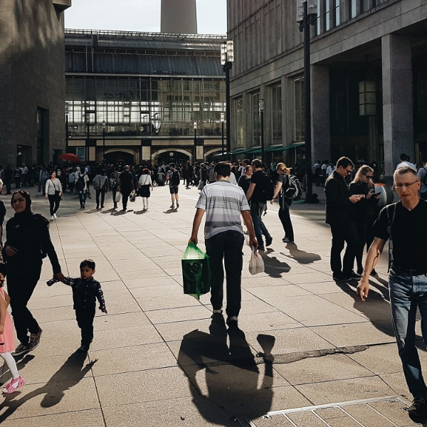
Rotterdam Loopt aims to give pedestrians an equal place within the overall mobility strategy, so that public spaces genuinely encourage walking. This is in line with the STOMP strategy, which prioritises walking first, followed by cycling, then public transport and mobility services, and finally private cars. By prioritising walking, the city remains liveable and accessible.’
2. What role does the Rotterdam Pedestrian Traffic Monitor play within this programme?
‘The Pedestrian Traffic Monitor* shows that walking is a mode of transport in its own right. Now that we also have a pedestrian network mapped out and the usage patterns for the entire municipality are transparent, pedestrians are given a more prominent place in the data landscape.
We have incorporated the Pedestrian Traffic Monitor into our traffic forecasting model. This is unique, because whilst cars and cyclists have always been included, pedestrians were previously uncharted territory in these models. With the Pedestrian Traffic Monitor, we can demonstrate what constitutes a good network and what happens when you introduce or remove barriers.’
3. How has the Wegen naar Welzijn project contributed to this?
‘Within Wegen naar Welzijn, data from Rotterdam’s Pedestrian Traffic Monitor has been linked to a design study. This was carried out for three neighbourhoods in Zuid, where we know that transport inequality may play a role. We have gained a clearer picture of where barriers lie and what walkability looks like per neighbourhood and street segment.
In addition, the research team went into the neighbourhoods to talk to residents and gain an understanding of the local experience from a pedestrian’s perspective. This resulted in a combination of quantitative and qualitative insights.’
4. What has this combination of data and design achieved?
‘The analyses were translated into pedestrian-inclusive design principles for the neighbourhoods. These were then applied at key locations within the neighbourhoods. The aim was to give residents better access on foot to new developments, such as the Nelson Mandela Park and the Rijnhaven.
During the project, it became clear that the value lay not only in the final report, but also in the process itself. It brought together urban planners, traffic engineers and landscape designers to explore what a focus on pedestrians could achieve. The insights from the report are now being used as input for the study into the Stadsas and in designs for the sewerage project in the Tarwewijk.’
‘By mapping out the pedestrian network and identifying bottlenecks, you give pedestrians a fully-fledged place in planning.’
5. Why is it becoming increasingly important for municipalities to recognise walking as a fully-fledged mode of transport?
‘Municipalities are facing ever-greater spatial challenges. More homes need to be built, whilst available space is limited. This densification cannot be fully accommodated by car traffic alone. That is why it is becoming increasingly important to recognise walking as a fully-fledged mode of transport in mobility policy and Area Development.
Walking is healthy, accessible and inclusive. For many people, it is also a necessary means of getting around, for example for older people or those with disabilities. For them, wide pavements, benches and accessible crossings are not a luxury, but essential for continuing to participate in city life.
‘When you start developing a walking policy, map out your pedestrian network and identify the bottlenecks. And make pedestrians visible through data. Otherwise, pedestrians are very quickly forgotten in plans.’
*The Pedestrian Traffic Monitor is a tool developed by Witteveen+Bos that provides insight into expected pedestrian flows within a municipality. The model predicts which routes pedestrians are likely to use and how many people travel along those routes.
This creates a comprehensive picture of the pedestrian network. It helps municipalities to better understand how people move around the city on foot and where opportunities lie to improve connections, accessibility and the quality of the pedestrian environment.
More information
