Mobility studies
Mobility studies
Mobility studies provide insights into how people move around and how mobility can be optimised to meet society’s needs. This contributes to sustainable mobility that not only is efficient, but also promotes health and minimises the environmental impact. An efficient mobility strategy contributes to the city’s liveability in terms of health, accessibility, social cohesion, economic growth and urban renewal.
Witteveen+Bos advises several municipalities on the mobility policy to be pursued. We use our traffic engineering expertise and our knowledge of traffic models to gain a good understanding of traffic flows in an area. The most important flows form the basis for the policy objectives for the future of traffic in an area. Some of the emphases include bicycle zones, circulation plans and a simpler parking policy.
Smart mobility
Our field of expertise includes conducting accessibility studies, exploratory studies, planning studies, route analyses (high-quality public transport, rail and road transport) as well as working out traffic engineering and mobility solutions. This includes smart mobility (digitalisation and automation of mobility) and MaaS (Mobility as a Service, such as shared mobility, parking and hubs) at the urban, regional as well as national levels. We analyse the effects of policy and design choices and integrate them with social and environmental impacts. We do this based on smart measurement techniques to collect traffic data and powerful simulation models. This results in a comprehensive consideration with regard to liveability and accessibility.
Active travel
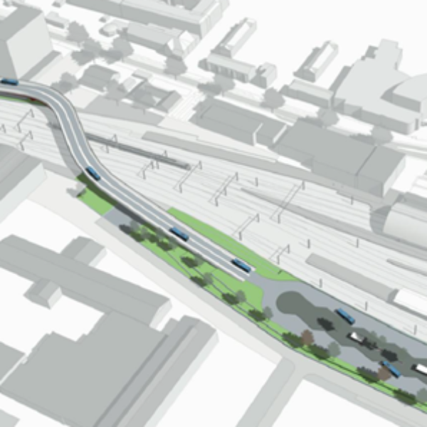
Walking and cycling take up much less space than cars and public transport. Area layouts focused on cyclists and pedestrians leave more room for other issues such as climate change adaptation, water storage and greenery. Moreover, the carbon footprint of slow-moving traffic is smaller than that of motorised traffic.
In the coming years, public spaces in densely populated areas will be redesigned to best facilitate sustainable mobility. Designing based on the human dimension is key in this process. The STOMP design principle gives us guidance in this [STOMP is the Dutch acronym for Stappen (walking), Trappen (cycling), Openbaar vervoer (public transport), MaaS (Mobility as a Service), Particuliere auto (private car)]. Within STOMP, it is not the car that is central to the design of space, but rather the pedestrian, then the cyclist and then public transport and MaaS. The private car is the last to be considered in the design.
Bicycle and pedestrian infrastructure
Developing and promoting pedestrian and bicycle-friendly infrastructure, especially in urbanised areas, is an ideal way to reduce carbon emissions, encourage physical activity and improve the quality of the living environment. Witteveen+Bos has the necessary experience in the field of bicycle infrastructure. Unique is our spatial analysis in which we determine how cycle paths and crossings can be realised in a densely built-up environment. We put this knowledge into practice worldwide, including in densely populated urban areas in Asia, such as Singapore, with, for example, the deployment of our Bike Path Planner.
Where is the pedestrian?
Cities often lack the information and tools to identify pedestrian presence, network bottlenecks and attraction factors. This makes it difficult to devise informed pedestrian policies, make effective urban development choices and set up adequate management.
Witteveen+Bos’ team of data and mobility experts developed the Pedestrian Traffic Monitor in collaboration with the municipality of Rotterdam. This data-driven analytics platform provides insights into the pedestrian and the pedestrian network, allowing cities and developers to actively prioritise and design for this sustainable, efficient and active modality.
The Pedestrian Traffic Monitor provides information at district or city level, showing intensity, capacity and quality for pedestrians at street level. This allows quantitative comparisons to be made and the impact of spatial policy scenarios and designs aimed at pedestrians to be identified objectively and quantitatively.

More information?
