Vledder Aa layout plan
Towards a natural and climate-proof stream system
Vledder Aa layout plan
The Vledder Aa Stream Remediation (Beekherstel van de Vledder Aa) project is intended to restore the natural environment around this stream in the province of Drenthe, to improve the water quality and increase the water storage capacity. Witteveen+Bos has developed geohydrological and hydraulic models for the middle course of the stream (phase 2). These allow us to evaluate the effects of various design variants. These contributed to the integrated development plan, which was developed together with Prolander and other stakeholders.
Vledder Aa Stream Remediation is an initiative of the Drents Overijsselse Delta Water Authority. It primarily focuses on water storage and nature development, as the plan area is part of the National Ecological Network (NNN, Natuurnetwerk Nederland), which connects important nature reserves. The project must also contribute to the objectives of the Water Framework Directive (WFD).
The project envisions the restoration of the Vledder Aa into a meandering, water-bearing stream. Ditches will also be filled in, which will raise the water table. Fertiliser will no longer be used in the area and the grass will be mowed and removed as hay in the summer months. This will result in a beautiful nature reserve with a rich variety of plants and animals.
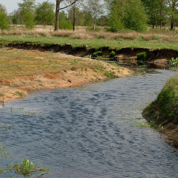
Vledder Aa stream valley


Effects analysed
The middle course of the Vledder Aa was normalised (straightened) in the past. It cuts deeply into the landscape, which has led to the desiccation of the area. By remediating the stream, it will again become water-bearing and the water table in surrounding area will rise, which will counteract the desiccation of the natural environment.
To develop the design, we carried out a (geo)hydrological survey using the specific, non-stationary 3D groundwater model in MIPWA and surface water modelling with Sobek (1D2D model). Using these models, our experts determined the effects on the groundwater, flooding, agriculture, nature and the built environment.
Major improvement in hydrological conditions
Throughout the design process and during many work sessions, these insights helped us determine a preferred variant for the development, which is a good fit for the area and with an important role for nature, as well as agriculture, cultural history and recreation.
In general terms, the middle course of the stream has been designed as a flow-through bog. The old meander will also be restored. The ditches will also be filled in and the course of several tributary streams will be modified. The design will result in major improvements to the hydrological conditions required to achieve the desired natural environment on land and in the water (WFD).
Caption: The project area of the Vledder Aa stream valley is surrounded by the villages of Vledder, Doldersum and Wapse. The Drents-Friese Wold National Park and the hamlet of Oude Willem lie to the north and east. The hamlet of Boschoord lies to the northwest.
More information
