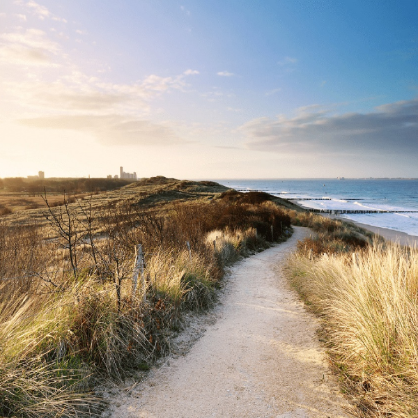
Verification of basic coastline and sustainable coastal safety

Verification of basic coastline and sustainable coastal safety
For the project 'Basiskustlijn en duurzame Kustveiligheid' (basic coastline and sustainable coastal safety) Witteveen+Bos was commissioned by Rijkswaterstaat WVL to verify whether maintenance of the basic coastline (BKL) would result in the sustainable maintenance of water safety both now and in 2050. Witteveen+Bos has made visible the effects of the current coastal policy and an created an inventory of possible future areas of concern.
Sustainable conservation of dune areas and coastline
In 1990 the Dutch government published the First Coastal Policy Document. In it a choice was made for sustainable maintenance of safety and sustainable preservation of functions and values in the dune area. The aim is to maintain the coastline at least where it was in 1990. This will meet the basic condition for protection against flooding.
To do justice to the natural, dynamic nature of the coast at the same time, this policy is expressed in terms of 'dynamic maintenance'.
Two assumptions have been made here:
- The assumption that maintaining the basic coastline (BKL) results in sustainable maintenance of flood risk management. In 2011 the Delta Programme reviewed the validity of this assumption. At the time this was based on the previous standards and the hydraulic preconditions applicable at the time. A check with the current standards and hydraulic preconditions was not carried out at the time.
- The assumption that maintaining the BKL results in sustainable preservation of functions and values in the dune area.
Integral coastal approach
The Ministry of Infrastructure and Water Management needs a further and more up-to-date substantiation of the usefulness and necessity of the integral coastal approach. The answers to these questions can also serve as input for the follow-up study Coastal Genesis 2.0.
In order to verify the two assumptions in this project we compared the location of the boundary profile belonging to a coastal profile that just barely meets the BKL with the lay-out data of various water defence authorities along the Dutch coast. For this analysis some 30,000 DUROS-plus calculations were made for locations along the entire Dutch coast. These calculations were then processed using trend analyses to assess whether maintaining the BKL is sustainable now and in 2050.
The roles of Witteveen+Bos in this project were:
- Devising a suitable calculation method together with the client.
- Performing calculations in MorphAn for the entire Dutch coastline.
- Processing and analysing the results.
- Visualising the results in a GIS database.
More Information?

Our projects
Every year we work on almost 5,000 projects on water, infrastructure, environment and construction.
