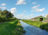
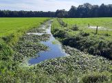
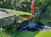
Towards a climate-robust Eelderdiep with innovative systems analysis
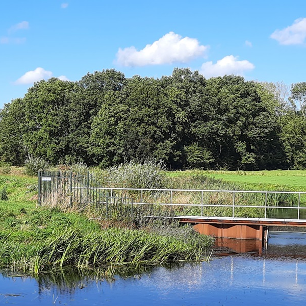
Towards a climate-robust Eelderdiep with innovative systems analysis
For the first time, long-term groundwater and surface water modelling, an analysis of the ecological water quality and extensive landscape analysis are being combined to produce an integrated systems analysis. Witteveen+Bos was able to apply this innovative approach to the Eelderdiep river system, under assignment to and in close collaboration with Noorderzijlvest Water Authority. The results are intended to provide insight into the natural functioning of the water system, in terms of quality and quantity. Noorderzijlvest Water Authority and its area partners will use this insight to explore what a climate-robust Eelderdiep might look like, and how the WFD (Water Framework Directive) goals can go hand in hand with the features of the water system.
For this assignment, the added value of a multidisciplinary approach is optimally used. For issues relating to the rural area, Witteveen+Bos prefers an approach based on the local and regional natural system rather than based on sectoral tasks. We feel that an integrated area-wide analysis produces better and more robust solutions. This integrated systems analysis is a new step in Witteveen+Bos’s extensive experience with systems analyses for ecological water quality. To complete this analysis, specialists from the different fields of expertise worked together. The knowledge and expertise available at Noorderzijlvest Water Authority were also used.
More complete understanding of the system
The complexity of this form of analysis mainly lies in the combination of calculation models and data, and the multidisciplinary collaboration required to help understand 'the whole picture'. The result is not only a more complete understanding of the system, but also greater insight into the collaboration between colleagues and between client and contractor. The integrated systems analysis forces everyone to think outside their own field of expertise.
Noorderzijlvest Water Authority faces many challenges: climate change adaptation, water scarcity problems, user wishes and biodiversity issues. The European Water Framework Directive, which requires EU member states to achieve good status for all bodies of surface water and groundwater by 2027, also plays a role here. The integrated systems analysis maps out how the different components of the Eelderdiep river system and the catchment area work together, how these elements determine the natural functioning of the water system and landscape, and how this relates to the current functioning and design of the system. The analysis covers surface water and groundwater, ecology, water quality, subsurface/geology, soil, land use and landscape history, including changes in land use introduced by people in the water system.
Natural functioning of the system
The main bonus of the multidisciplinary approach is that we can discover how the Eelderdiep was historically formed due to interactions between landscape, water, soil, subsurface and ecology, how people have intervened in this, and how this has affected the natural processes which currently determine how the water system behaves. We now understand what we see in the landscape and how that relates to everything that has happened and is happening in the soil and the subsurface. For example, the analysis reveals the locations of areas that are naturally wetter and the role they play in the area's natural water storage capacity. In current use functions, these wet areas are sometimes considered difficult. However, the systems analysis has shown that these conditions are not so much a drainage problem but a result of strong local seepage. This helps the Water Authority start a conversation with the local community and put tasks and ambitions into perspective. Knowledge of the functioning of the area can also help optimise the use of the natural water management, for example in resolving water scarcity issues. And in some locations, ambitions relating to river fishing have proved to be less compatible with the natural functioning of the system than elsewhere in the Eelderdiep system. The analysis has shown that some places had no or little open water in the past, and that intake of canal water is necessary in the present situation to create the desired hydrological conditions. Based on the findings of the systems analysis, choices need to be made for suitable locations for nature recovery, where measures can be embedded in and supported by the natural functioning of the water system.
Noorderzijlvest Water Authority can use the results of the innovative systems analysis to work towards a climate-robust water system, whereby the natural functioning of the water system is strengthened and restored wherever possible (WFD goals). Tasks can then be given a place in the functioning of the system, instead of vice versa. The insights from the systems analysis provide a basis for the conversation both inside and outside the water authority, because the features and the relationships between the different components of the water system reveal the basic frameworks affecting all use functions. They also highlight the different options available to enable various goals to be achieved sustainably and for the natural features of the system to be used appropriately.
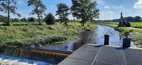
Online visual story
To be able to use this complex analysis in an accessible way for the conversation inside and outside the water authority, we chose a different form of reporting than usual. The integrated systems analysis is presented in an ArcGIS Storymap: an attractive online visual story. Presenting the results in this form is not only an interesting accessible and technical way to inform experts and policy makers, but also to explain the functioning and features of the Eelderdiep water system to stakeholders and other interested parties. You can find the Storymap via this link: Integrated Systems Analysis Eelderdiep.
More information?

