Environment and planning vision for Texel
Looking to the past to prepare for the future
Environment and planning vision for Texel
What will Texel look like in 2050? How much land will be reserved for agriculture, housing, energy generation, work and recreation? The municipality's Environment and Planning Vision addresses these questions. By developing a clear step-by-step plan, Witteveen+Bos helped the municipality of Texel work with all stakeholders to develop a broadly supported vision for the future.
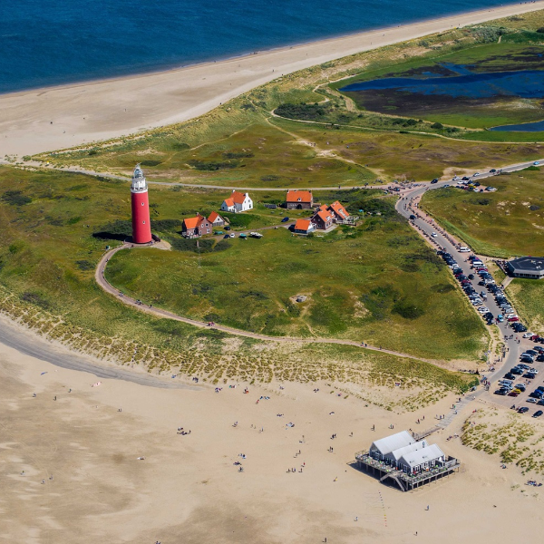
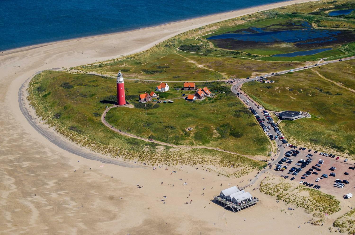
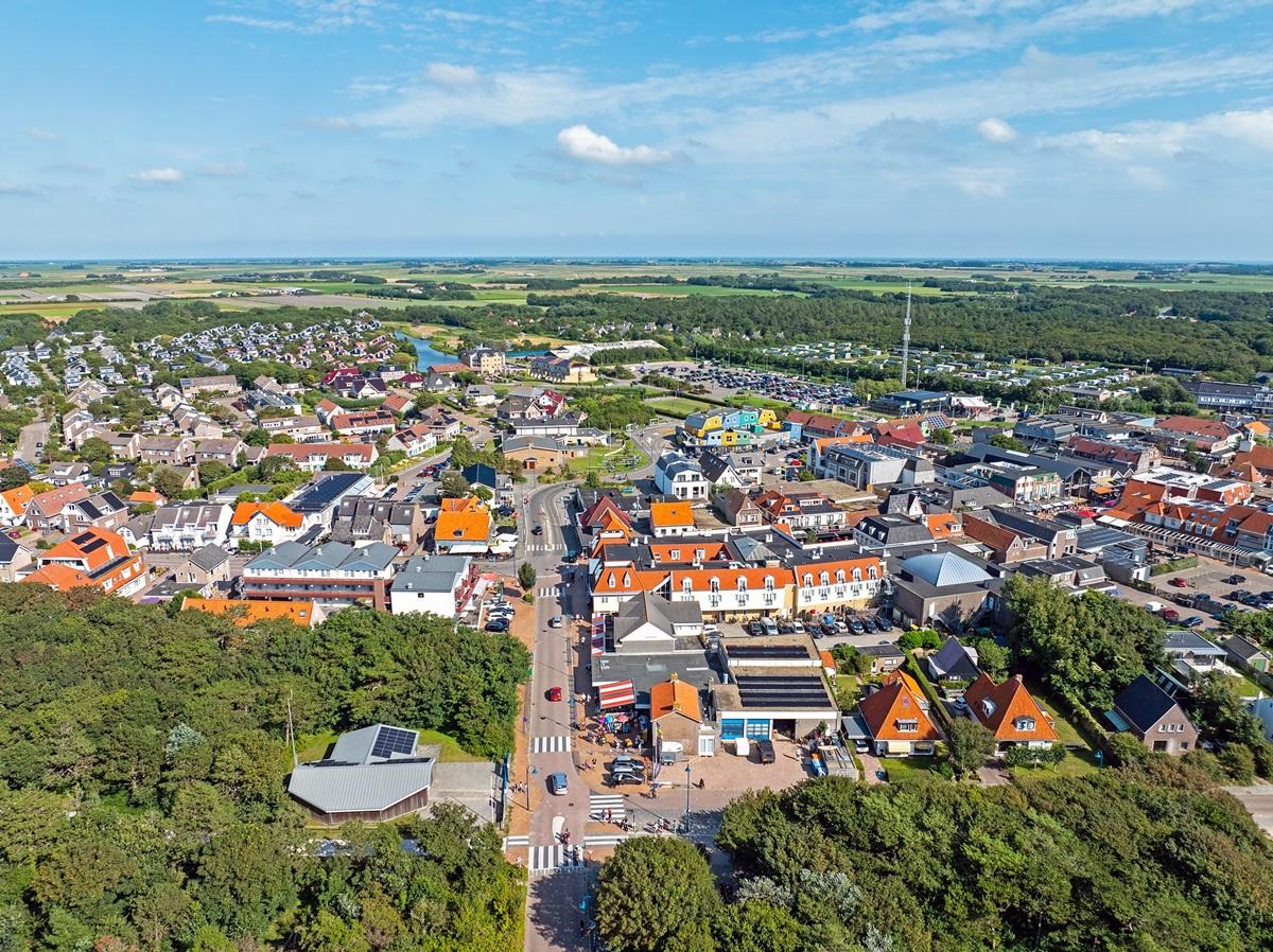
The development history of Texel served as the starting point for this process. By looking back and identifying the island’s DNA, its identity becomes clearer. It isn’t just a question of how the landscape has developed, but also how residents have experienced the landscape and nature through the centuries and their vision for the future.
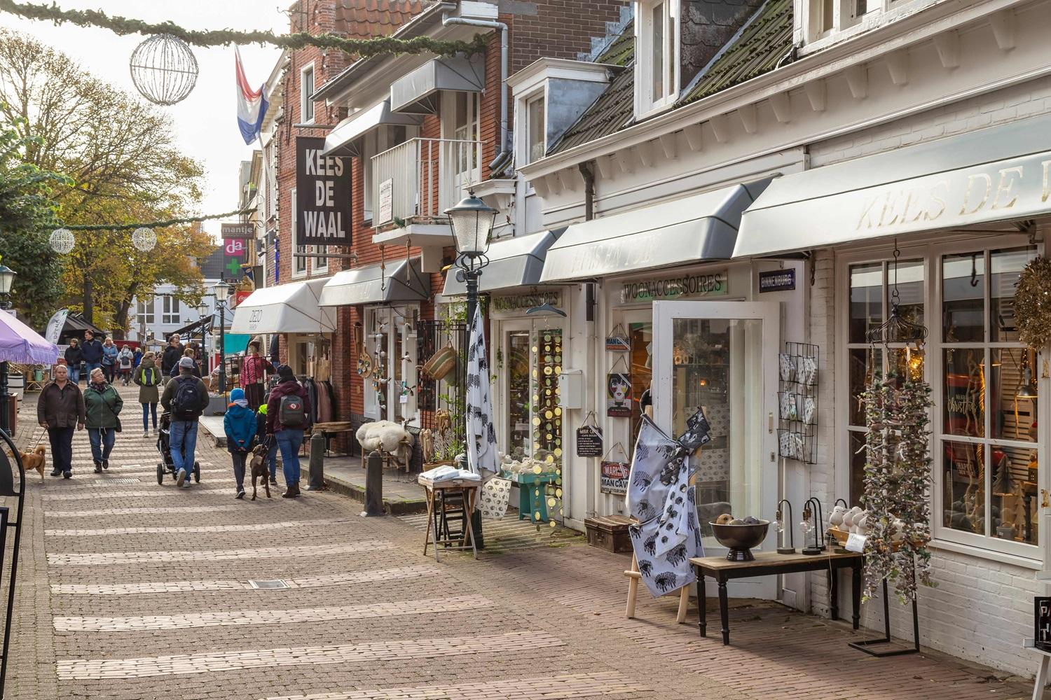
We guided this process, in which we collected input in various ways, from desk research to surveying relevant stakeholders: the residents, businesses and public sector of the island. For example, we sent all residents a postcard asking them about their dreams for Texel. We also toured the seven villages, where we talked to many residents. We asked them about the qualities of the island: those it already has and those they would like to see more of.
Participation
We used all these contributions, together with input from our policy officers and external specialists, to develop two different visions for the future of the island, including environmental impact assessments. We presented these visions in various ways, including an informal public meeting where residents could express a preference for one of the two visions. They could also share their ideas for the future of Texel with employees of the municipality. We also asked secondary school pupils, young farmers and entrepreneurs about their ideas for the future of Texel. Finally, we launched a digital questionnaire to give residents the opportunity to respond from home to the two visions for the future.
Future perspective
In the third phase, the information and input from earlier in the process were used to develop a single vision for the future of Texel. This was expressed in the form of a ‘conceptual map’, which shows the future spatial developments needed to make – and keep – the island attractive in socio-economic and natural/environmental terms.
The municipality included residents’ responses to the conceptual map in the process of evaluating spatial planning priorities during the development of the final Environment and Planning Vision. A second, final version of the vision for the future will be developed. This will result in a ‘vision map’, the core of the Environment and Planning Vision.
More information
