Descriptive soil analysis for heavy metals and radionuclides
Descriptive soil analysis for heavy metals and radionuclides
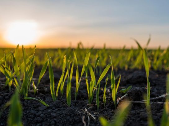
Years of industrial discharge into various watercourses in De Kempen region has resulted in the contamination of various plots along the banks of - among others - the Grote Nete between Geel and Lier with heavy metals and radionuclides, such as the atom Radium-226. The Public Waste Agency of Flanders (OVAM) commissioned Witteveen+Bos to perform a descriptive soil analysis to map out these contaminations.
Dose rate screening provides insight into contamination
The contamination of the plots occurred by deposition of sediment particles (for example after flooding), to which the contamination has bonded. This resulted in a very large contaminated area, evidenced by high concentrations, accumulation in food chains and (resulting) detrimental effects on the ecosystem. In addition, sludge removals in the past have resulted in the deposition of sediment on the dykes, along the watercourse. This allowed the contamination to spread even further.
The vast size of the research area, measuring approximately 44 km in length, made it impossible to perform the research using standard techniques, such as point sampling. Analyses for radionuclides are also expensive, in particular the processing of the samples. This would result in very high costs for such a study.
Therefore, a dose rate meter is often used when performing soil analysis for radionuclides in a large area. However, this technique is limited to the detection of radionuclides at ground level, meaning that pockets of contamination located deeper in the soil cannot be detected. Therefore, Witteveen+Bos used a probe with built-in dose rate meter for this project, enabling the scanning of drilling holes. This allowed us to analyse pockets of contamination located deeper in the soil.
3D representation of hotspots
This technology allowed us to create a quick and very high-resolution 3D representation of the contamination, providing insight into the location of the contaminated hotspots and allowing for more extensive analysis - including drilling, sampling and analyses - where necessary.
The results can be presented directly in a GIS application on the field computer, providing a real-time view of the contamination, ensuring that a project of this size remains manageable. This process generated a complete overview of the spread of the contamination, making it easier to set up a soil remediation project at a later stage.
Witteveen+Bos have since also implemented this research method in other studies and in the remediation of watercourses and industrial sites that were contaminated by radionuclides. The method has been verified by the Federal Agency for Nuclear Control (FANC).
More information?

Our projects
Every year we work on almost 5,000 projects on water, infrastructure, environment and construction.