Area vision for De Maashorst: nature and recreation in balance
Area vision for De Maashorst: nature and recreation in balance
How can you create a broadly supported vision for a unique natural, recreational and agricultural area with many stakeholders? We helped the municipality of Maashorst implement a structured process to develop a vision for the future of the De Maashorst nature reserve. We worked in partnership with all involved parties to develop a vision for the future that all stakeholders could support.
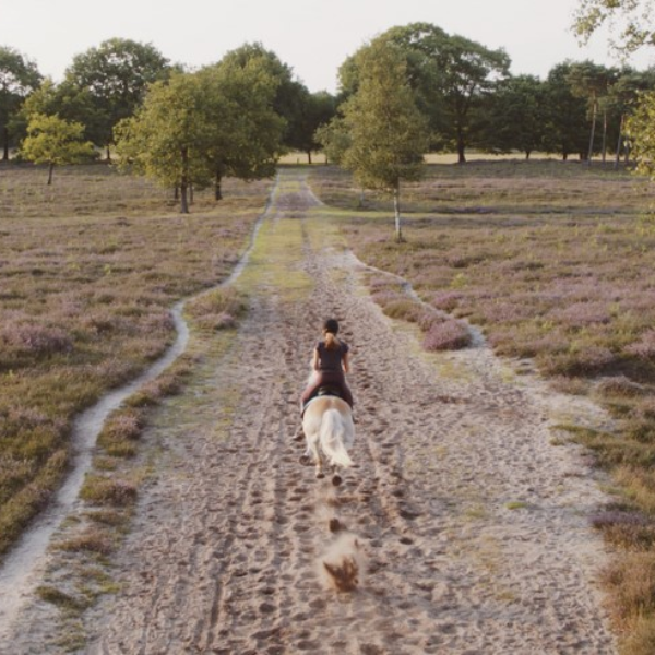
De Maashorst is one of the largest contiguous nature reserves in the province of North Brabant. It has an area of 2400 hectares and includes a beautiful, peaceful natural heart, forests and heaths, drifting dunes, wetlands and old tree-lined avenues.
The natural heart of the area is surrounded by a continually changing landscape and the centres of the municipalities of Bernheze, Maashorst and Oss, each with its own culture, historical treasures and unique characteristics. The ‘first ring’ around the natural heart is designated for recreation and small-scale agriculture, while the ‘second ring’ is part of the urban environment of the surrounding municipalities.
Challenges
The good news is that the biodiversity in De Maashorst has developed successfully in recent years. However, the area faces several challenges, which the neighbouring municipalities (Maashorst, Schaijk, Uden, Zeeland, Bernheze and Oss), Staatsbosbeheer and the Aa & Maas Water Authority wish to address in the area vision. These include a water shortage due to periods of drought and balancing the conflicting demands on the limited space.
Looking to the past
The process of developing the area vision began with a Landscape Ecological System Analysis (LESA) and study of recent policies for the area. A LESA is a tool that allows a better understanding to be developed about the origins and current functioning of a nature reserve, other area or area management type in historical, physiographical and ecological terms, as well as the cultural and historical aspects (such as the presence of ancient burial sites). We can use the results gained from the LESA to explain processes, patterns and relationships between vegetation types and site conditions. It also helps us identify the nature restoration options for the area. These historical insights allow us to identify perspectives for the future.
Policy analysis
Creating an area vision is also a question of developing existing policies. A great deal of information is available about De Maashorst, including the Maashorst Manifesto (MaashorstManifest), the Nature Plan for De Maashorst (Natuurplan De Maashorst), the Water Vision for De Maashorst (Watervisie Maashorst) and the 2015-2019 design and management plan (Inrichtings- en beheerplan 2015-2019). Much of this information was used to develop the area vision. We also identified obstacles, qualities, challenges and opportunities for De Maashorst based on the existing policies, supplemented with the results of the participatory process. This gave us a clear picture of the area’s needs.
Thematic approach
We adopted and added to the themes from the Maashorst Manifesto, which shape the 2050 area vision:
- nature: developing the natural heart through natural processes, together with good management and grazing. There is plenty of space for people to relax and enjoy themselves. There are also many places where vulnerable nature and animals remain undisturbed;
- water: restoring the water and soil system is an important precondition for the natural development of the area. Tackling desiccation and restoring seeps will contribute to the unique development of the landscape;
- landscape: developments must take account of the core qualities of the area, while protecting the identity of each individual part;
- cultural history: the natural heart includes tree-lined avenues, historical paths that connect the centres of Uden and Schaijk, and Nistelrode and Zeeland. It is important to retain the connection between the urban and natural areas.
Participation
Participation, an important condition imposed by the Environment and Planning Act, was ensured by involving an Advisory Council and the Users’ Council (recreational users, farmers, business owners etc.). We also organised meetings at various locations to collect input for the area vision. Residents, recreational users, business owners and farmers told us about the problems and qualities of the area and discussed the future plans for the area. The project group used these insights to determine the main themes to include in the vision. Decisions were taken and principles were formulated based on these themes.
Refined draft vision
The draft vision and principles were then presented to the stakeholders. Their responses were used to refine the draft vision. Once the 2050 area vision has been finalised, we will prepare a design and management plan (Inrichtings- en beheerplan, IBeP) for the implementation. This plan covers a period of six years and explains which (management) measures will be implemented in the first six years. After this period, the following design and management plan can set a revised course as necessary. Annual plans will be prepared for the specific implementation of the (management) measures.
