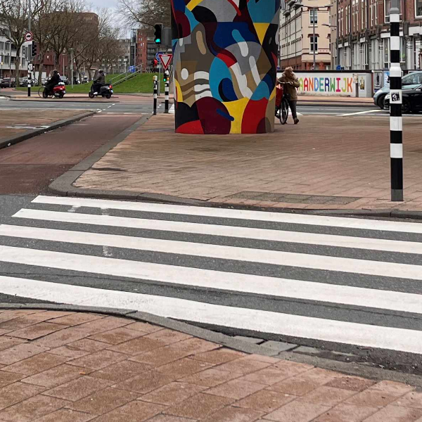
Walking in Rotterdam South? It could be better!

Walking in Rotterdam South? It could be better!
Last year, the municipality of Rotterdam municipality and Witteveen+Bos investigated the situation for pedestrians in three neighbourhoods in South: the Afrikaanderwijk, Tarwebuurt and Bloemhof. This study fulfils the call Roads to Wellbeing, which uses mobility transition as an opportunity to promote broad prosperity.
Our vision: a pedestrian-centred living environment contributes to an overall improvement in quality of life for all.
Quantitative- and qualitative analysis of neighbourhood walkability
An objective, quantitative situation sketch forms the basis of the project. Using the Rotterdam Pedestrian Traffic Monitor, the pedestrian network was mapped, the various walking indicators were analysed and the first potential areas for improvement were identified. Using interviews with professional stakeholders (involved in Rijnhaven, Nelson Mandela Park and the Rotterdam Mobility Approach), routes, opportunities and barriers in the neighbourhoods were identified. The stakeholders know the neighbourhoods well and during the discussions characterisations emerged at neighbourhood and street level. The urban planning of each neighbourhood and the physical experience of the neighbourhoods from the pedestrian's point of view were also analysed. The findings were translated into design principles for pedestrian-inclusive design. These are divided into three themes: 1) the main structure; 2) the transition from main structure to the finely woven inner suburban network and 3) the finely woven inner suburban network.
Plenty of opportunities for pedestrians
The results of the study show that there are plenty of opportunities, including improvements in the attractiveness and greening of the finely-meshed inner neighbourhood pedestrian network. Increasing the safety and attractiveness of pedestrian routes to and from key public transport hubs. Moreover, the neighbourhoods were found to be isolated, busy highways surround the neighbourhoods and they have very few pedestrian crossings.

Letting the pedestrian join the ride
Fortunately, there are several projects in and around the neighbourhoods on which improvements for pedestrians can ride along. This study calls on designers and policymakers to look beyond the plan boundaries of individual projects and invest in an integrated approach that improves the liveability of entire neighbourhoods. Developments like Nelson Mandela Park and Rijnhaven can actually make a positive difference to current residents.
Linking expertise for the pedestrian
The reason for the research was the invisibility of the pedestrian among designers and policy staff and to realise concrete improvements through pedestrian-inclusive design. The project proved to be a great connection between various fields of expertise. The pedestrian secures an integrated approach in which urban planners, mobility experts, data scientists and policymakers learn from each other and identify integrated opportunities on current and new projects in the living environment. We will continue this connection in phase 2.
Invisible pedestrian
The team's ambition is for current residents to benefit from a pedestrian-friendly living environment. Now that the current state of the pedestrian network has been mapped, it is time to give a voice to local residents themselves. In the next phase of this study, we will therefore be moving into the neighbourhood.
Pedestrian Traffic Monitor

More information?
Wim advises on integrated mobility solutions. The Pedestrian Traffic Monitor helps to map the quality of pedestrian networks.
