Ameland accessibility: navigating between different interests
Ameland accessibility: navigating between different interests
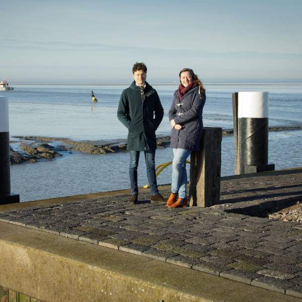
In autumn 2023, the Minister of Infrastructure and Water Management (IenW) sent the results of the Ameland 2030 Accessibility Follow-up Study (VBA 2030) to the House of Representatives. The study is the result of an intensive collaboration between Witteveen+Bos and Rijkswaterstaat. Engagement and stakeholder managers Sanne Ruiter (W+B) and Wilmar Stigter (RWS) look back on the project.
For the people of Ameland it is their lifeline: the ferry to and from the mainland. For years, the navigation channel used by the ferries between Holwert and Nes is being dredged intensively. It is a consequence of the morphological conditions: the Wadden Sea along the Frisian coast is accreting. With the growth of salt marshes and mud flats, channels become narrower and shallower and retreat. The route being sailed has become longer and more winding in recent decades, and it is sometimes hard for ships to pass each other.
The dredging work for which Rijkswaterstaat is responsible have a negative impact on the nature of the Wadden Sea World Heritage Site. It also creates relatively high management and maintenance costs. Rijkswaterstaat is therefore working on a reliable and sustainable long-term solution.
Involving the local community
This is not something Rijkswaterstaat takes lightly. Wilmar Stigter: ‘Ameland's accessibility involves many different stakeholders. For instance, the interests of the villagers, nature organisations or entrepreneurs. It is important to involve these parties and give their input a concrete place in the project wherever possible.’
Sanne Ruiter, Wilmar’s counterpart on the project team: ‘This is a special project, because we are dealing with two environments: an island and the mainland. The interests are not always the same. Therefore, the project team has devoted a lot of energy in involving both environments, for instance in the form of information sessions, but also with an incredibly fun session at an Ameland secondary school. We managed to captivate the students with a game designed specially for the occasion: FutureFerry. The game explains which choices can be made for a ferry connection and what consequences these choices have. So what can be fine-tuned and what is the impact thereof? This creates awareness about the alternatives and the consequences.’
Fewer departures
Last summer’s change in the number of departures drew extra attention to the ferry connection. In consultation with the Ministry of IenW, Wagenborg Passenger Services decided to reduce the number of departures because the shipping company reported that ships could not safely pass each other in the navigation channel. This decision caused unrest among the Ameland residents and business owners.
Following research by the Maritime Research Institute Netherlands (MARIN), on behalf of the Ministry of IenW, Rijkswaterstaat and Wagenborg Passenger Services, it was determined at which water levels and at which locations ships can safely pass each other. These locations are now also marked by Rijkswaterstaat with buoyage. In addition, the hourly timetable was changed to a five-quarterly timetable. This seems to have a positive effect on the punctuality of the ferry service.
There were several articles about this in the media. Wilmar: ‘The reduction in the number of departures had a major impact on daily life on the island. Despite the fact that this change was not directly related to the project, we did adjust the environmental process accordingly. At such times, it is important to be flexible and be extra alert to what is important to Ameland residents.’
The events once again underlined the need for finding a structural solution. It also made it clear how important it is to properly explain the cause and the possible solutions. And morphology is not the easiest thing to explain.
Sanne: ‘We did our best to translate all the technical, morphological aspects in such a way that, as an interested party, you don’t need to have studied it to understand it.’ Wilmar adds: ‘It is important to convey information in a visual and engaging way. That is something we spent a lot of time and attention on. It wasn’t easy. especially when corona restrictions were still in place and many things had to be done digitally.’
Success factors
Both Rijkswaterstaat and Witteveen+Bos are positive about the collaboration. Contributing factors were open communication and the active sharing of knowledge and information between the two organisations. The intrinsic motivation and flexibility of the project team also played a role. This flexibility was essential, for example, to respond to changes in the local community or changes in the scope of the project.
The result
The report addresses a total of six alternatives, which were explored within the two possible solutions. The first possible solution is the one that reduces the dredging load of the ferry connection between Holwert and Nes. For instance, by reducing the width and depth of the navigation channel, combined with a different vessel concept. The second solution examines the construction of a new ferry dam at Ferwert. At Ferwert, the ferry can sail through Dantziggat. This is a naturally relatively wide and deep channel, reducing the need for dredging.
There are multiple options for a new ferry dam. For example, the ferry dam can be constructed entirely as an earth dam or as a hybrid dam. In that case, the seaward part of the dam will be constructed on piles. This improves the natural dynamics of the Wadden Sea. For the construction of a new ferry dam, the car park is envisaged within the dykes. This will keep the space occupied in the Wadden Sea to a minimum.
The six alternatives were assessed on four aspects: nature, morphology, traffic and transport, and use of space. Wilmar: ‘We now have a clear picture of the possible solutions, including the pros and cons. The results of the study provide a solid basis for further development.’
Complex morphology
The morphological study within the project was conducted by Witteveen+Bos, I-Mud and Deltares and was supervised by an independent committee with specialists from Utrecht University, TU Delft, Deltares, Wadden Academy, Province of Fryslân and Rijkswaterstaat. The study aimed to identify the factors affecting the dredging load of the navigation channel. The dredging load refers to the number of cubic metres dredged annually to maintain the width and depth of the channel. We also made projections for the expected future dredging load. Currently, some 1.5 million m3 is dredged annually.
The morphological study shows that at equal minimum channel dimensions, the dredging load could continue to grow to 2.5 million m3 annually in the coming decades. It is further substantiated that the expected dredging load of a possible navigation channel between Ferwert and Nes will be substantially lower. This because the ferry dam at Holwert connects to a channel in the Wadden Sea that is close to the tidal flat. With the growth of salt marshes and mud flats, this channel has been greatly reduced in size. The channel at Ferwert is further away from the tidal flat and has a larger feeding area. As a result, the channel attracts more volume of water per tide and is therefore wider.
More information?
